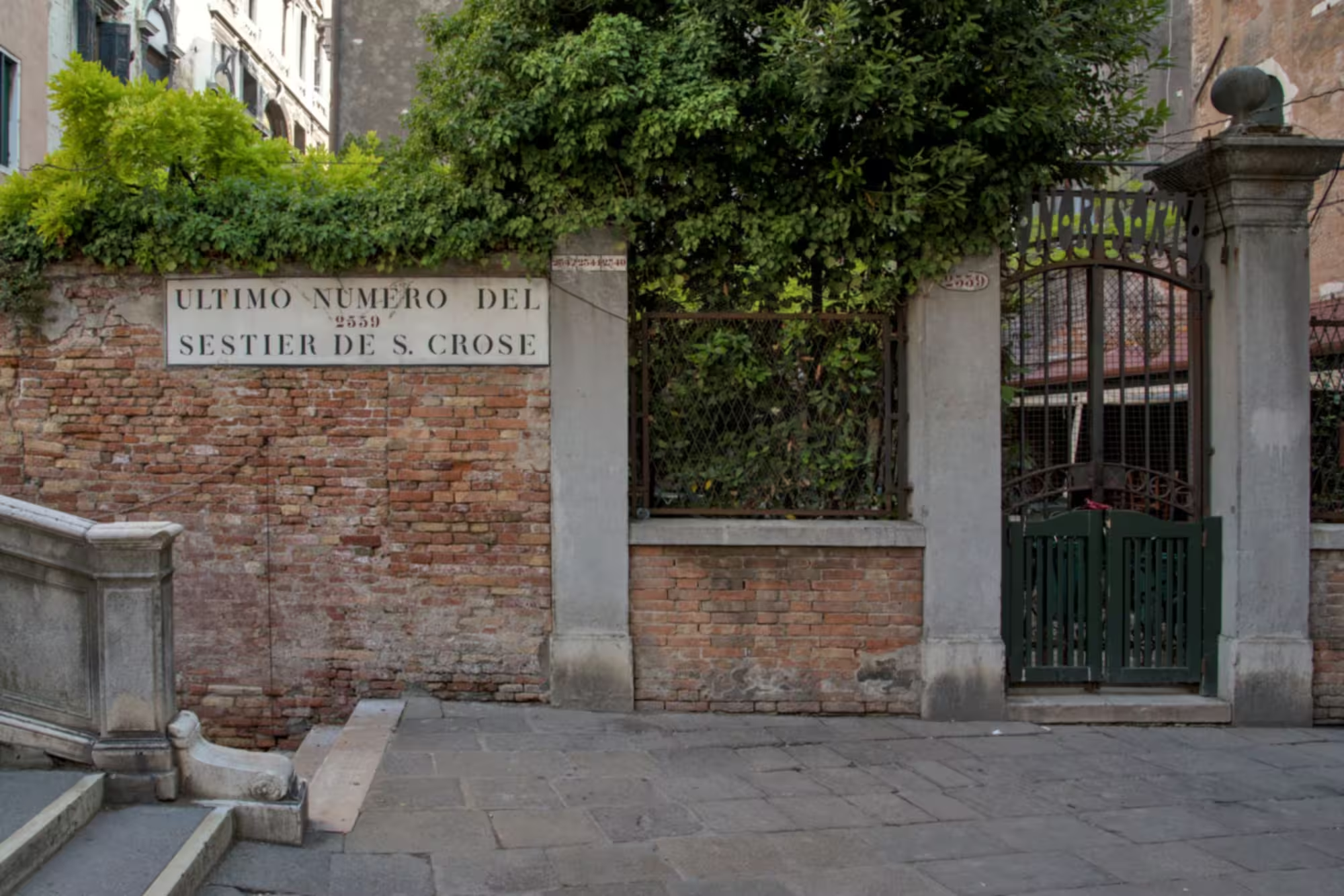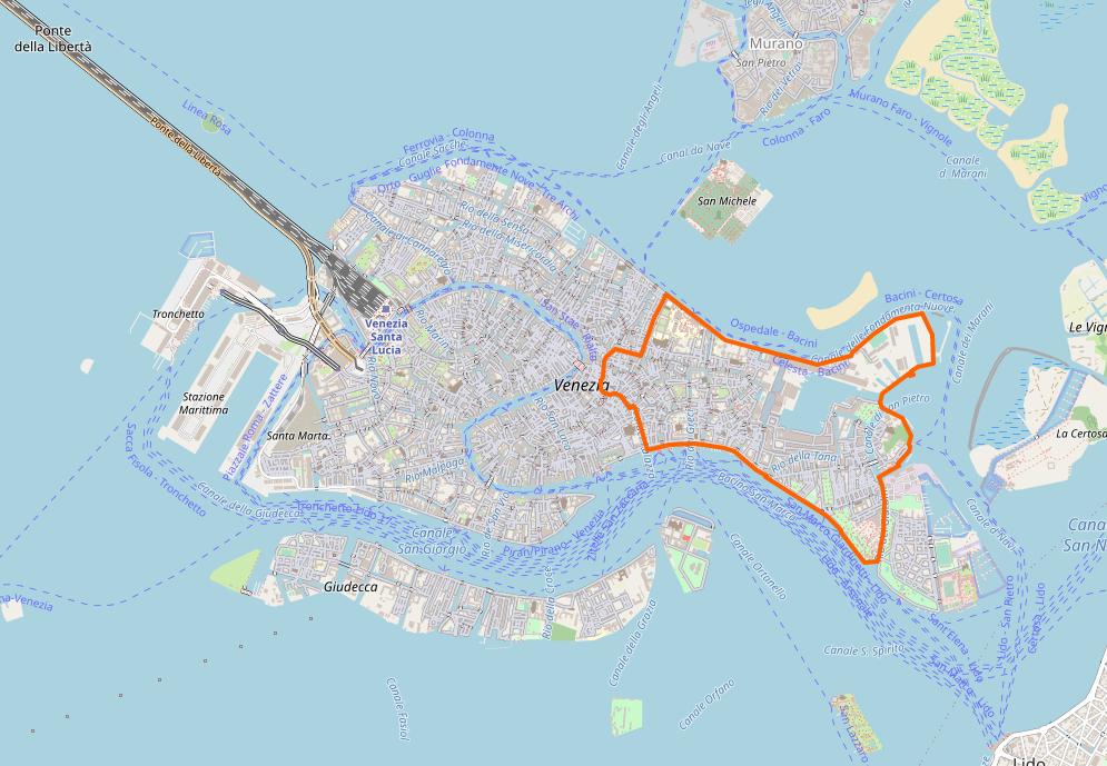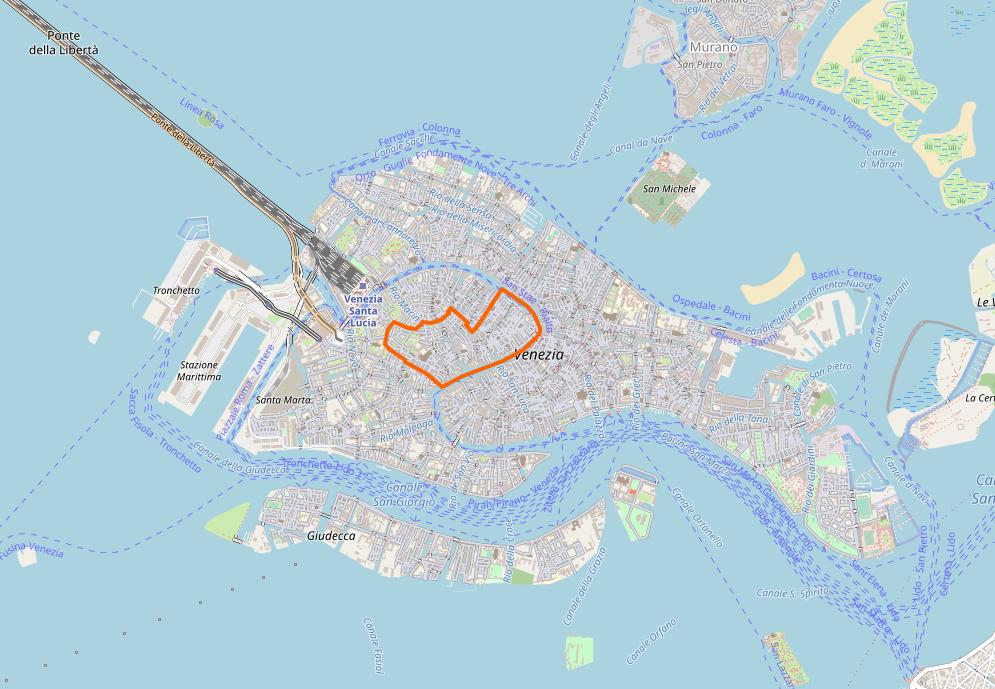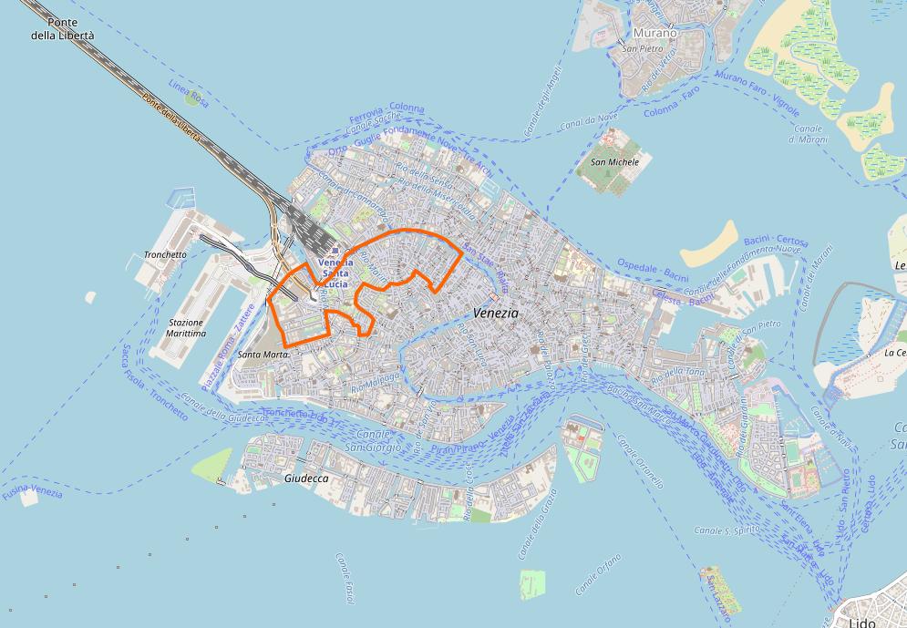
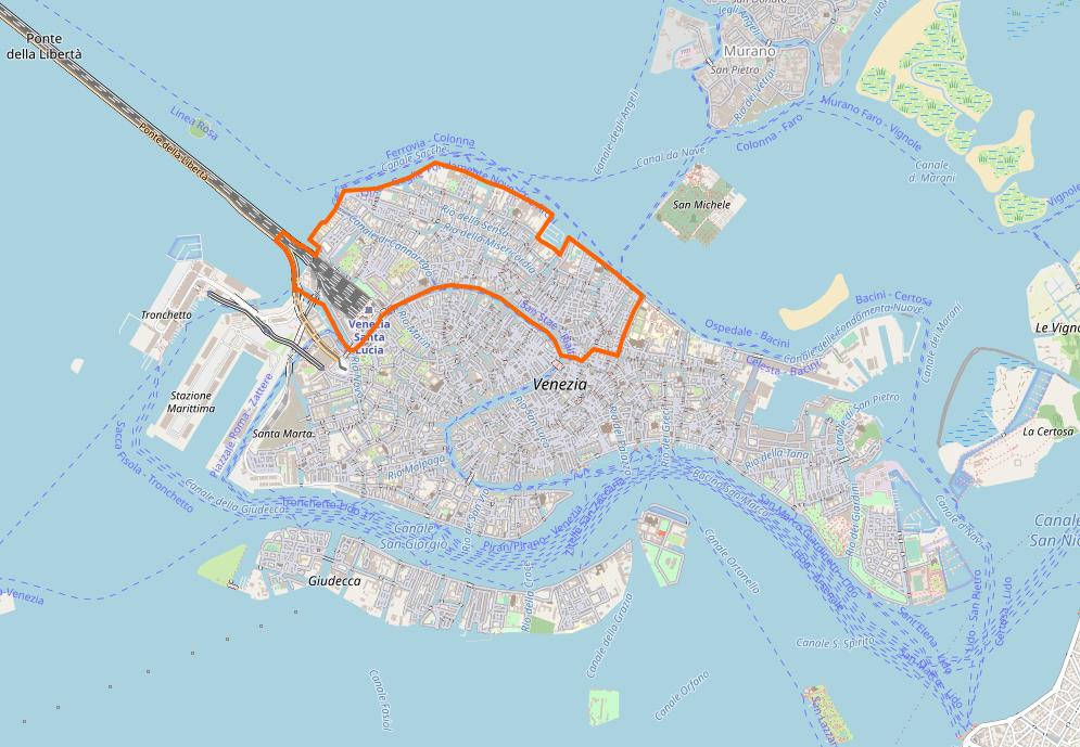
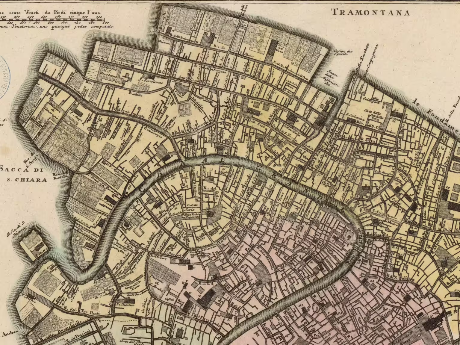
The Sestiere Cannaregio is the second largest of the six, extending from the railroad station to the Rialto. It covers almost half of the northern part of Venice.
It extends from the railroad station at Santa Lucia to the Rialto Bridge until the hospital at Campo SS Giovanni e Paolo. The main road is the Strada Nova, from the station to Rialto, created in the mid-1800s.
The name Cannaregio
The name probably derives from the reeds and canes that grew there before it became part of the city. In fact, it appears the area was the Paluello — paludo means swamp in Venetian — before it got its current name.
That a large part of Cannaregio consist of reclaimed land and not natural marsh is evident from the three long straight canals with perpendicular inter-connectors. The marsh canals are usually winding, so such straight canals are no doubt man-made.
Others suggest the name comes from Canal Regio — because the Canale Cannaregio is larger than the average city canal — but any ‘royal’ canal should be Canale Grande or Canale Giudecca, which are both larger.
Shipyards and foundries
Some of the earliest references we have about settlements in the Cannaregio area refers to the reeds and canes.
The first use of these swampy areas was for shipyards, and bundles of reeds served to apply boiling pitch to the hulls for waterproofing.
The Venetian state used parts of the still mostly uninhabited area for large foundries for the production of armaments. This area was the ghetto from the Latin iectāre, to throw or cast.
The arms production ceased in the mid-1400s, and after lying waste for a period, the Serenissima assigned the area to the growing Jewish population.
Gardens
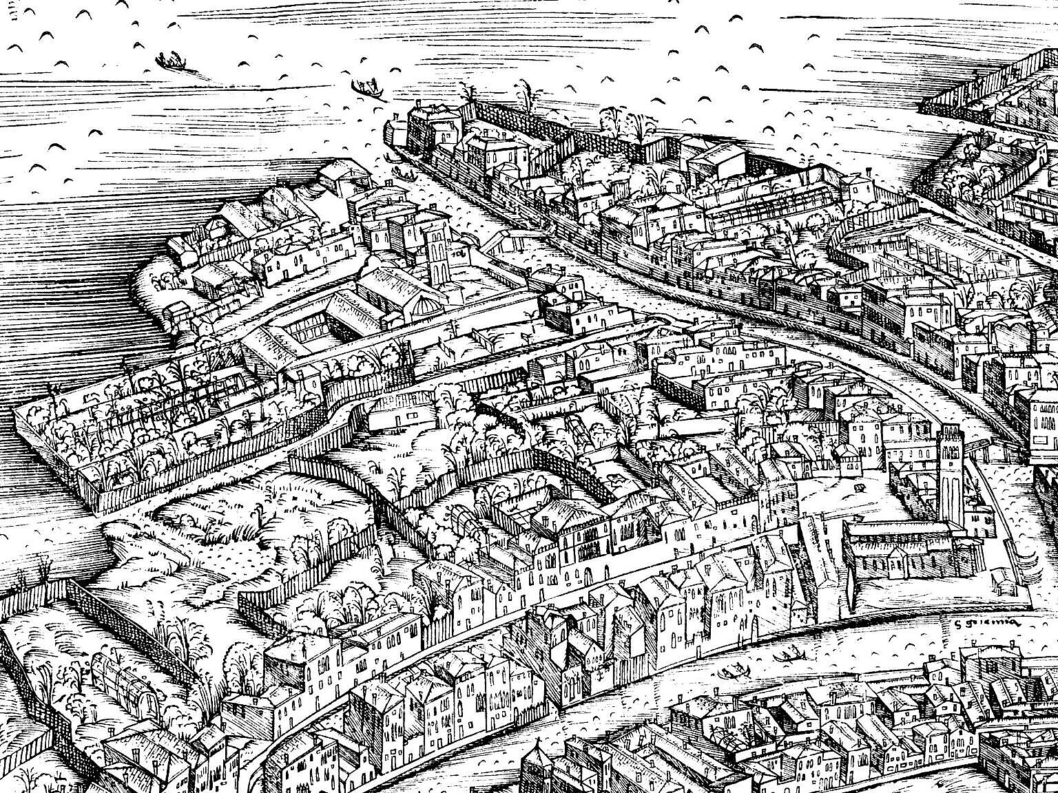
The rather late settlement of Cannaregio meant more space, some of which became gardens. Most ancient maps show large parts of Cannaregio covered in gardens, orchards or parks.
In medieval Venice, like in many medieval cities, most houses had a plot of land which served as an orchard.
Most of these small plots disappeared as the population grew, but monasteries and the wealthies held on to the gardens, for different reasons. Growing your own food is part of monastic life, and the sacraments require wine, so practically all monasteries had a garden with an orchard and a vineyard.
The wealthiest citizens, on the other hand, had gardens as status symbols — to put their wealth on display. Initially, Venice sprawled as the population grew — Cannaregio itself is a sign of that — but in the late 1500s the last of the shallow marsh areas near the city disappeared. In part, land was reclaimed using rubbish. Land became a scarce resource, and owning something scarce, but not capitalising it, is an efficient way of showing your wealth.
The Austrian domination
Cannaregio is probably the sestiere which has suffered most deleterious changes during and after the Austrian domination 1815-1866.
The construction of the railroad station destroyed several churches and monasteries, with their gardens, including the church of Santa Lucia whose remains went travelling once more.
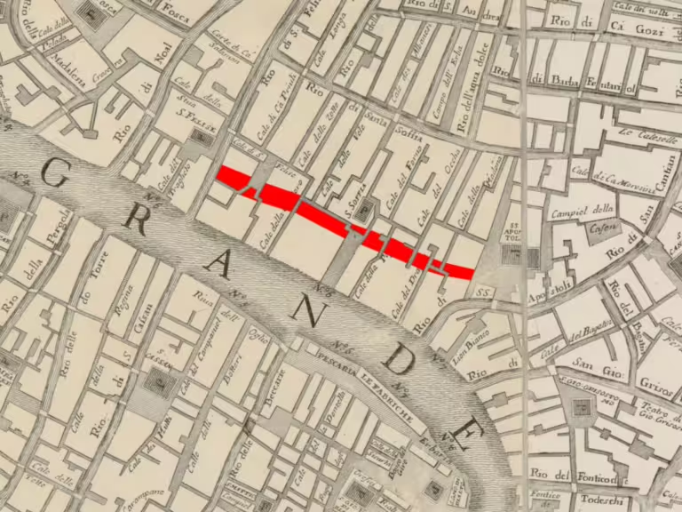
The pedestrian road from the station to the Rialto area removed several canals from the map, and numerous houses were demolished. Several ancient Venetian landmarks, like the unique Two Bridges and the Oratory of the Anconeta, disappeared forever.
Cannaregio today
With both the railroad station and the Piazzale Roma with bus terminal and parking nearby, Cannaregio is harder hit by modern mass tourism than most of the other sestieri.
In major parts of the sestiere, especially along the Strada Nova and the Fondamenta della Misericordia, all services are almost entirely focused on the tourist market, so being a resident there is not easy.
Churches in Cannaregio
Consecrated
- Chiesa di Sant’Alvise
- Chiesa dei Santi Apostoli
- Chiesa di San Canciano
- Chiesa delle Cappuccine
- Chiesa di San Felice
- Chiesa di Santa Fosca
- Chiesa di San Geremia
- Chiesa dei Gesuiti
- Chiesa di San Giobbe
- Chiesa di San Giovanni Grisostomo
- Chiesa di San Girolamo
- Chiesa della Maddalena
- Chiesa della Madonna dell’Orto
- Chiesa di San Marcuola
- Chiesa di San Marziale
- Chiesa dei Miracoli
- Chiesa dei Penitenti
- Chiesa degli Scalzi
- Chiesa di Santa Sofia
Deconsecrated
- Chiesa di San Bonaventura
- Chiesa di Santa Caterina
- Chiesa di San Leonardo
- Chiesa della Misericordia
Demolished
- Chiesa del Corpus Domini
- Chiesa di Santa Lucia
- Chiesa di Santa Maria Nova
- Chiesa dei Servi
- Oratorio de l’Anconeta
Related articles
In the Curiosità Veneziane:
- Cannaregio (Sestiere, Fondamenta, Ponte, Canale, Chiovere di) – Curiosità Veneziane
- Due Ponti – Curiosità Veneziane