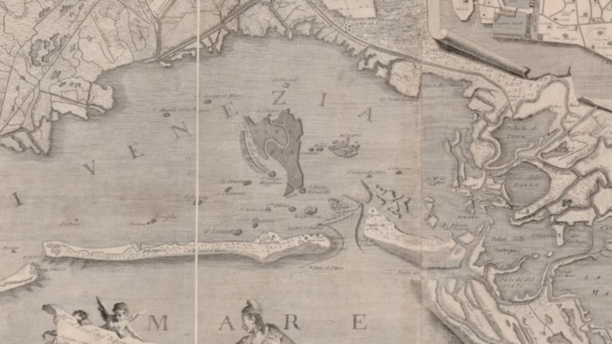
This is a map of the islands discussed in the article on the Venetian Lagoon and its islands. Not every miniscule island is on the map, but the important ones are.
The colours are green for public access; orange, accessible but with permission; red is inaccessible; blue abandoned; and black means lost.
The map is interactive, so you can zoom and pan around it. Clicking on a marker will show a bubble with a link to eventual articles about the island.
Islands covered on this site
- Lazzaretto Nuovo – the first quarantine station
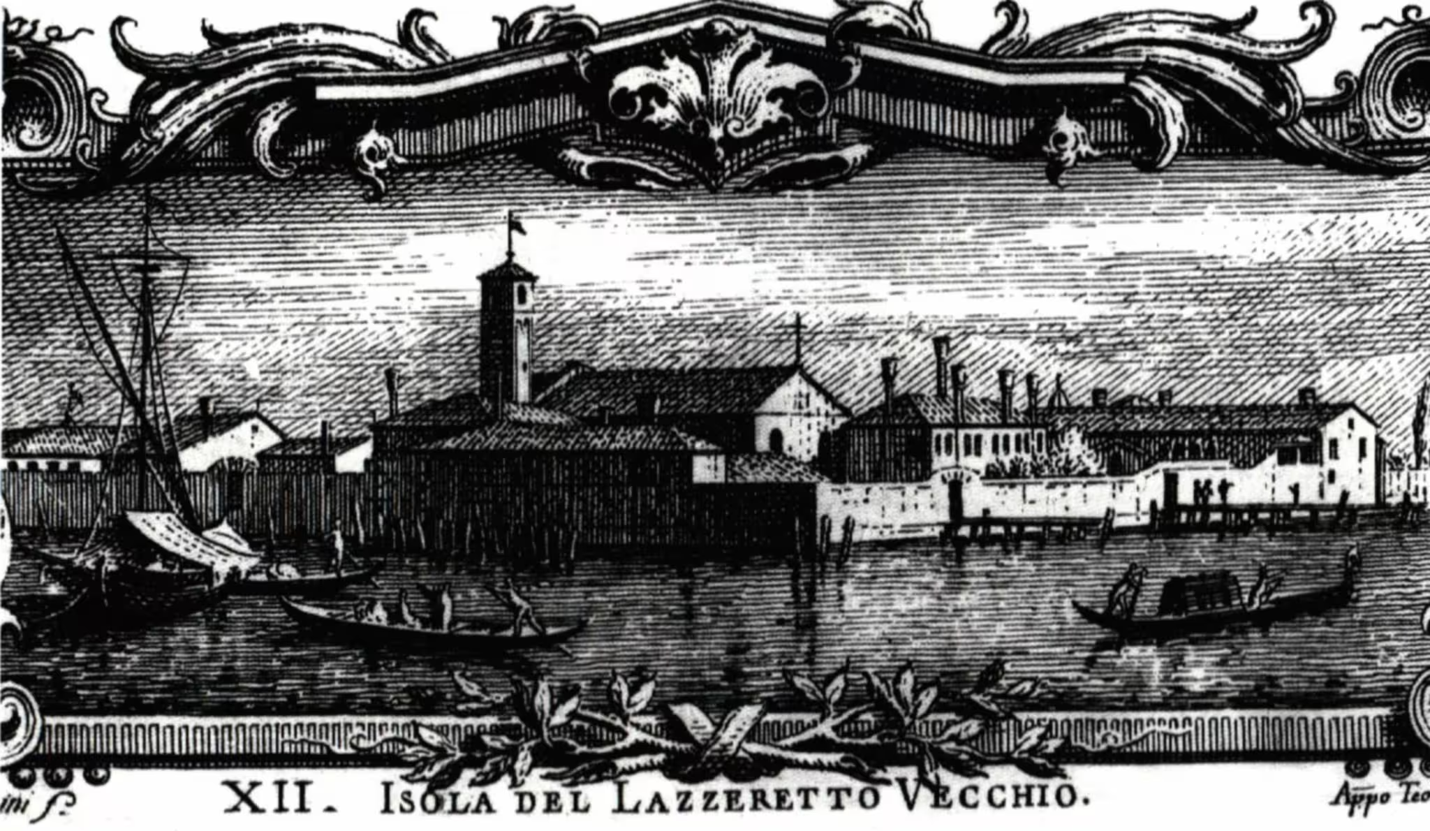
- Lazzaretto Vecchio
- Poveglia – more than ghost stories
- The fortress of Sant’Andrea
- San Francesco del Deserto
- The Certosa island
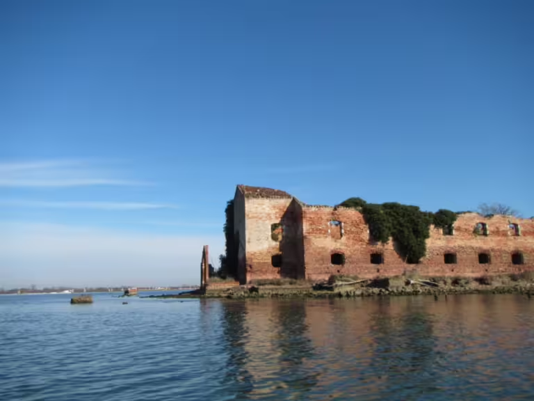
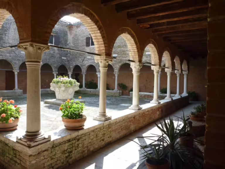
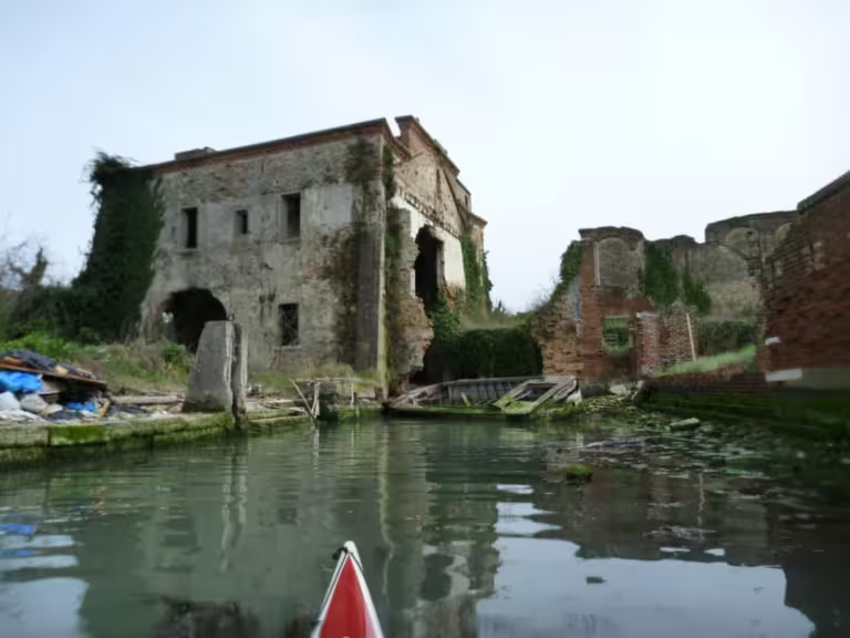
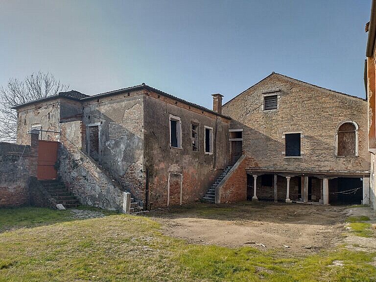
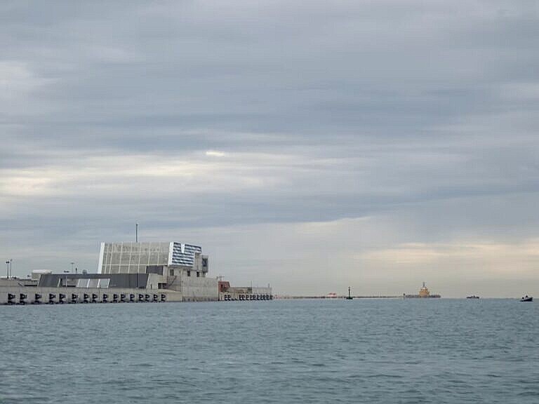
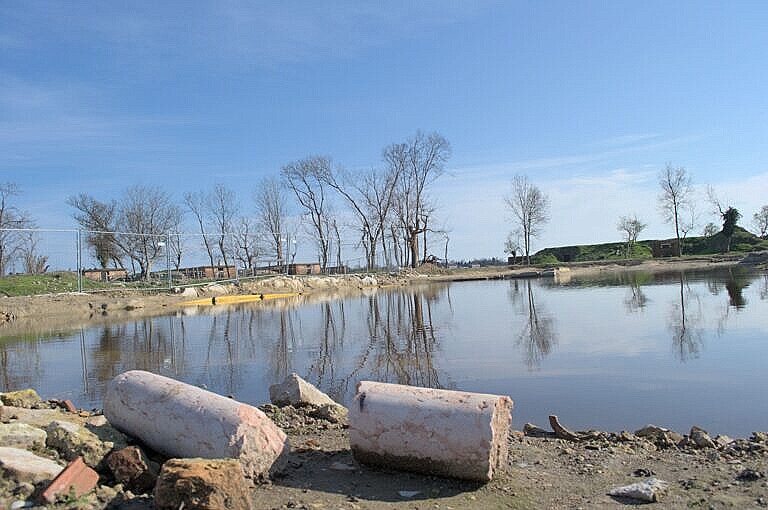
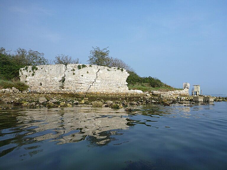
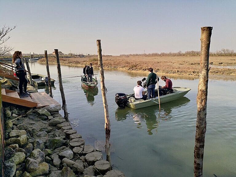
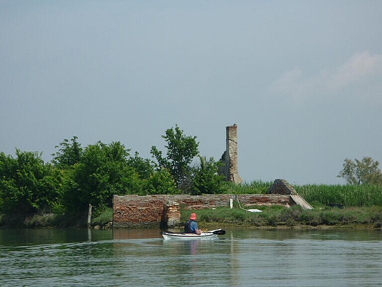
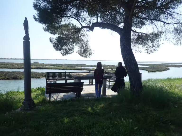
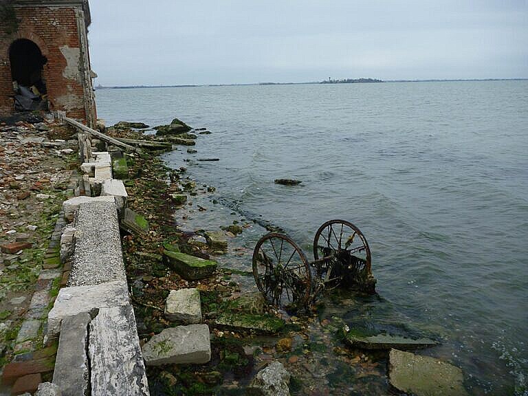
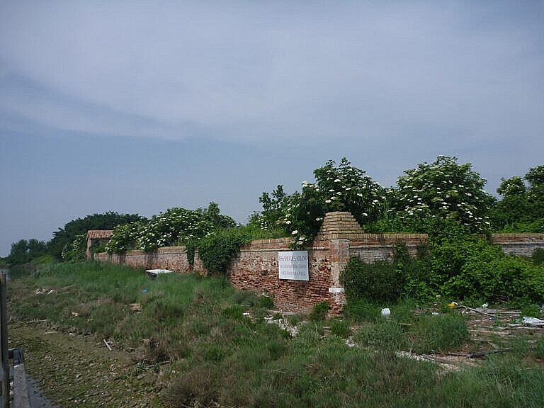
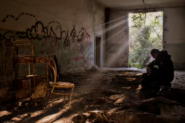
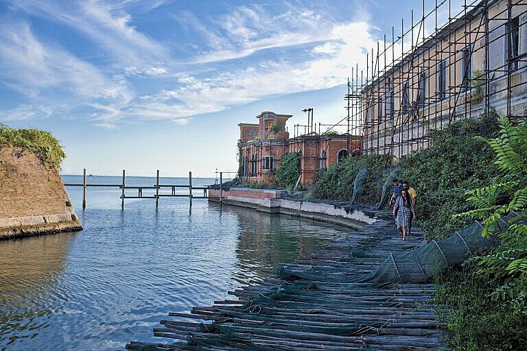
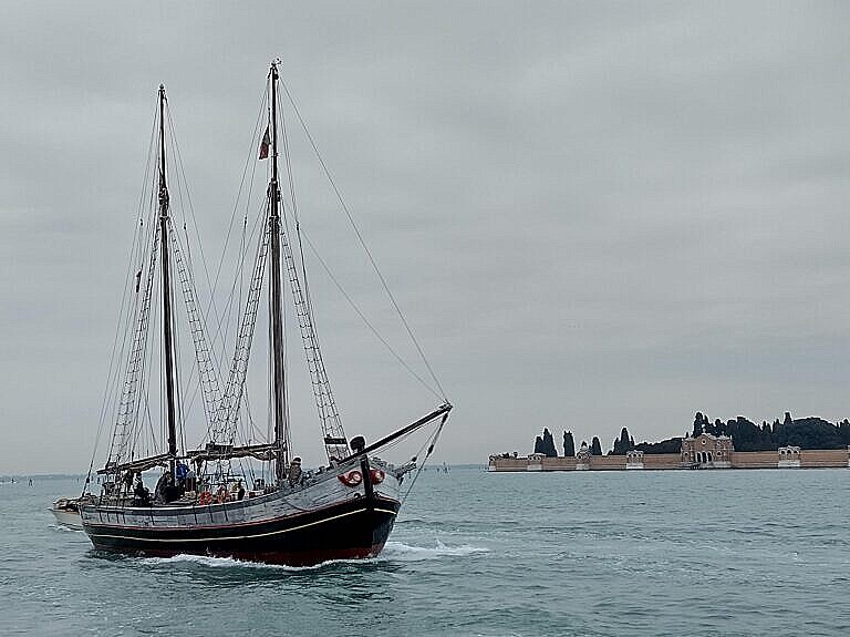
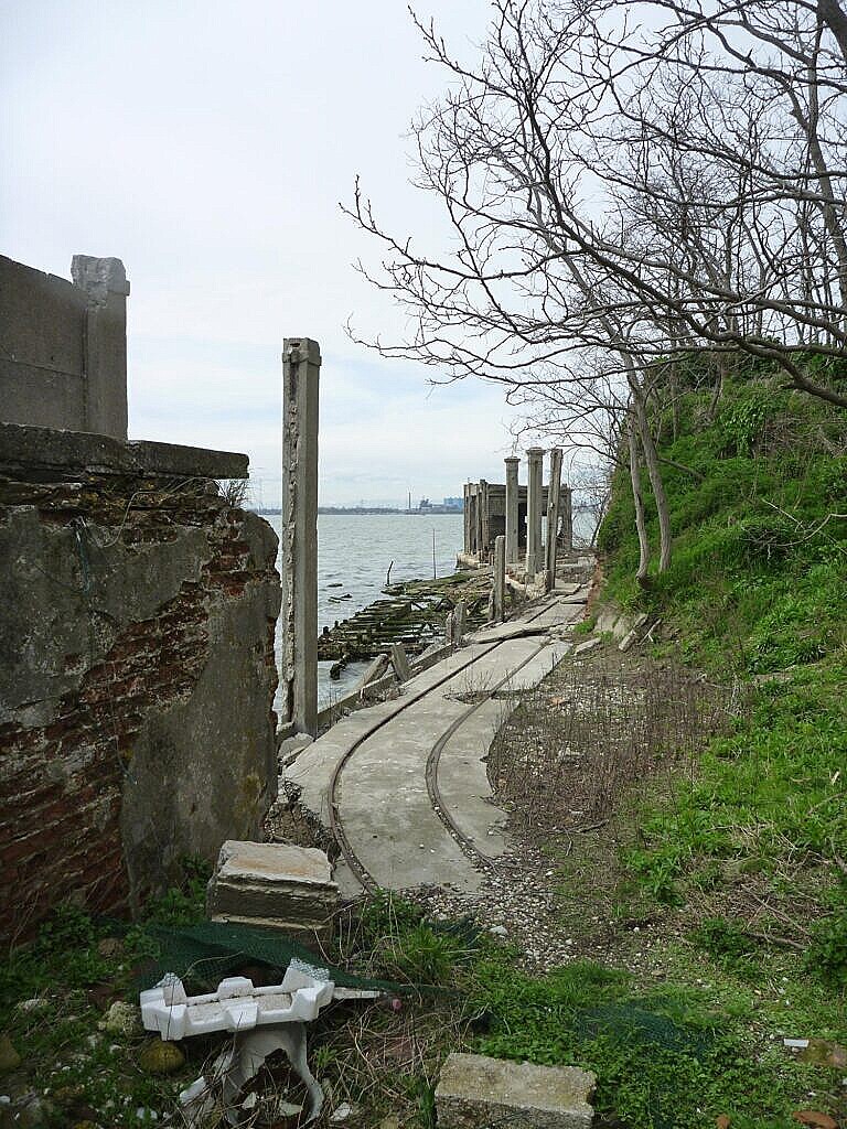
Photos of some of the islands
Hover over the photos for captions. There aren’t photos of all the islands on the map.


Leave a Reply to René Seindal Cancel reply